- التسوق ، اصبح سهلا.
- /
- احصل على التطبيق!
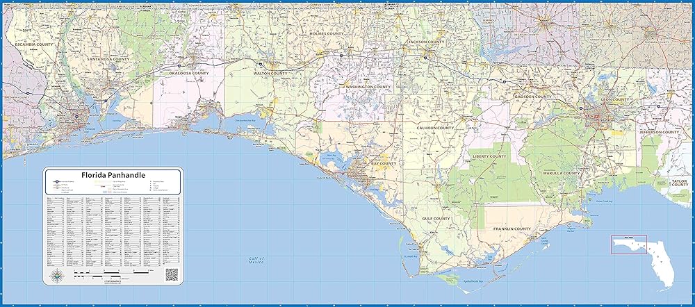
Our Florida Panhandle laminated wall map shows the area from the Florida/Alabama border in the west to Tallahassee in the east, including Pensacola, Navarre, Destin, Panama City, Port St. Joe, and Marianna, among others. Interstates, major highways and secondary roads are shown, as well as cities, counties, towns, and major points of interest.
 دليل نصي دليل القراءة ، مجموعة من 10 (Clear 10)
KWD 4.500
دليل نصي دليل القراءة ، مجموعة من 10 (Clear 10)
KWD 4.500
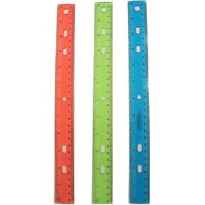 Jot 12 بوصة من الحكام البلاستيكي ، 3 حزمة متنوعة
KWD 4.500
Jot 12 بوصة من الحكام البلاستيكي ، 3 حزمة متنوعة
KWD 4.500
 -46%
ECR4KIDS STREMRYLINE 5 قطاع خزانة معطف مع مقاعد البدلاء ومقعد الصناديق التخزين الأمامية ، وحجم طفل صغير ، وغسل رمادي ، وأثاث الأطفال ، واضحة
KWD 79
-46%
ECR4KIDS STREMRYLINE 5 قطاع خزانة معطف مع مقاعد البدلاء ومقعد الصناديق التخزين الأمامية ، وحجم طفل صغير ، وغسل رمادي ، وأثاث الأطفال ، واضحة
KWD 79
 خريطة السفر في الولايات المتحدة مع دبابيس الدفع على قماش - تعقب السفر وخريطة الحائط للمنزل أو المكتب - مارك حالات ، مدن ، وميزات طبيعية للاحتفال بالمغامرات - جاهزة للتعليق - 40 × 30 | خريطة المغامرة الدبوس
KWD 49
خريطة السفر في الولايات المتحدة مع دبابيس الدفع على قماش - تعقب السفر وخريطة الحائط للمنزل أو المكتب - مارك حالات ، مدن ، وميزات طبيعية للاحتفال بالمغامرات - جاهزة للتعليق - 40 × 30 | خريطة المغامرة الدبوس
KWD 49