- التسوق ، اصبح سهلا.
- /
- احصل على التطبيق!
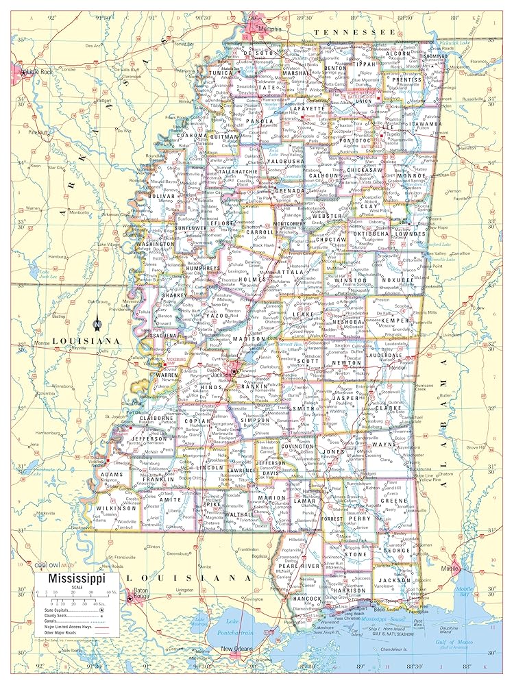
Unique, color banded, this political LARGE PRINT map of Mississippi state features geographic details. The map shows all county boundaries, county names with their capitals. Perfect for Schools, Home, Office or Home Schooling.
 خريطة أمريكا الشمالية HISTORIX 2021 - خريطة جدار أمريكا الشمالية مقاس 18 × 24 بوصة - خريطة أمريكا الشمالية - خريطة حائط أمريكا الشمالية - ملصق خريطة أمريكا الشمالية
KWD 16.500
خريطة أمريكا الشمالية HISTORIX 2021 - خريطة جدار أمريكا الشمالية مقاس 18 × 24 بوصة - خريطة أمريكا الشمالية - خريطة حائط أمريكا الشمالية - ملصق خريطة أمريكا الشمالية
KWD 16.500
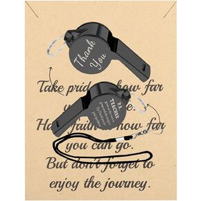 FUSTMW PE صافرة المعلم الهدايا P.E. هدايا تقدير المعلم، هدايا مدرس التربية البدنية، هدايا مدرس الصالة الرياضية، هدايا شكر لك
KWD 4.500
FUSTMW PE صافرة المعلم الهدايا P.E. هدايا تقدير المعلم، هدايا مدرس التربية البدنية، هدايا مدرس الصالة الرياضية، هدايا شكر لك
KWD 4.500
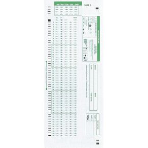 نماذج اختبار متوافقة مع TEST-100E 882 E (عبوة من 500 ورقة)
KWD 4
نماذج اختبار متوافقة مع TEST-100E 882 E (عبوة من 500 ورقة)
KWD 4
 كتاب الأطفال المزدحم من هاي كيدو، أحدث ألعاب التوحد لعام 2022 للأطفال، غلاف نشاط تعلم ما قبل المدرسة، كتاب تعليمي للتوحد والاحتياجات الخاصة، كتاب رسم للتعلم المنزلي والمدرسة
KWD 8
كتاب الأطفال المزدحم من هاي كيدو، أحدث ألعاب التوحد لعام 2022 للأطفال، غلاف نشاط تعلم ما قبل المدرسة، كتاب تعليمي للتوحد والاحتياجات الخاصة، كتاب رسم للتعلم المنزلي والمدرسة
KWD 8