- التسوق ، اصبح سهلا.
- /
- احصل على التطبيق!
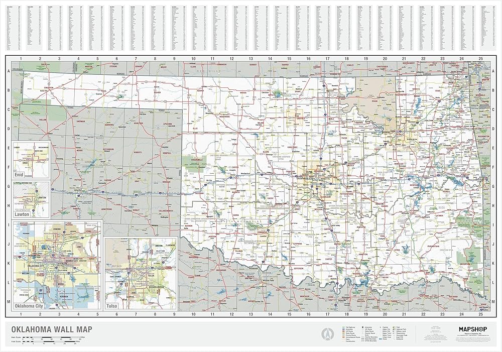
Discover the diverse geography of Oklahoma with our highly detailed state map.
Our Oklahoma map includes all cities, towns, counties, highways,major landmarks, and more.
With a warm and subtle color palette and clear labels, it is easy to find what you are looking for.
Our map of Oklahoma is a perfect resource for teachers, students, travelers, and map enthusiasts.
Explore the many facets of Oklahoma's culture and history with the inclusion of important Indigenous land and landmarks.
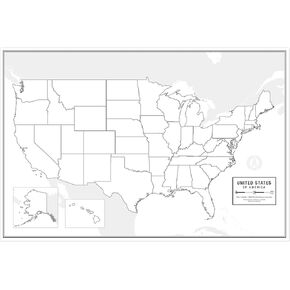 ملصق خريطة مخطط تفصيلي كبير فارغ للولايات المتحدة، مصفح، 91.44 سم × 60.96 سم | خريطة حائط فارغة رائعة للفصل الدراسي أو الدراسة المنزلية | يتضمن قلم مسح جاف مجاني | تتضمن ورقة إجابة مغلفة مفصلة
KWD 12.500
ملصق خريطة مخطط تفصيلي كبير فارغ للولايات المتحدة، مصفح، 91.44 سم × 60.96 سم | خريطة حائط فارغة رائعة للفصل الدراسي أو الدراسة المنزلية | يتضمن قلم مسح جاف مجاني | تتضمن ورقة إجابة مغلفة مفصلة
KWD 12.500
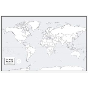 ملصق كبير لخريطة العالم الفارغة، مصفح، 91.44 سم × 60.96 سم | خريطة حائط فارغة رائعة للفصل الدراسي أو الدراسة المنزلية | يتضمن قلم مسح جاف مجاني | يتضمن ورقة إجابة مغلفة مفصلة | تعلم بسرعة!
KWD 12.500
ملصق كبير لخريطة العالم الفارغة، مصفح، 91.44 سم × 60.96 سم | خريطة حائط فارغة رائعة للفصل الدراسي أو الدراسة المنزلية | يتضمن قلم مسح جاف مجاني | يتضمن ورقة إجابة مغلفة مفصلة | تعلم بسرعة!
KWD 12.500
 خريطة العالم الإملائية لغال | خريطة العالم الأكثر دقة - يتم عرض البلدان بنسب صحيحة لبعضها البعض | خريطة العالم مغلفة | 36 بوصة × 24 بوصة
KWD 12.500
خريطة العالم الإملائية لغال | خريطة العالم الأكثر دقة - يتم عرض البلدان بنسب صحيحة لبعضها البعض | خريطة العالم مغلفة | 36 بوصة × 24 بوصة
KWD 12.500
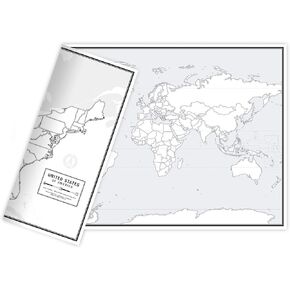 خرائط مخططة فارغة تعليمية، ذات وجهين للعالم والولايات المتحدة، 17 بوصة × 11 بوصة، 50 حزمة | أوراق عمل خريطة فارغة رائعة للفصل الدراسي أو الدراسة المنزلية | ورقة إجابة مغلفة متضمنة | حزم الخرائط هي حجم مكتب مثالي
KWD 20.500
خرائط مخططة فارغة تعليمية، ذات وجهين للعالم والولايات المتحدة، 17 بوصة × 11 بوصة، 50 حزمة | أوراق عمل خريطة فارغة رائعة للفصل الدراسي أو الدراسة المنزلية | ورقة إجابة مغلفة متضمنة | حزم الخرائط هي حجم مكتب مثالي
KWD 20.500