- Shopping, made easy.
- /
- Get the app!
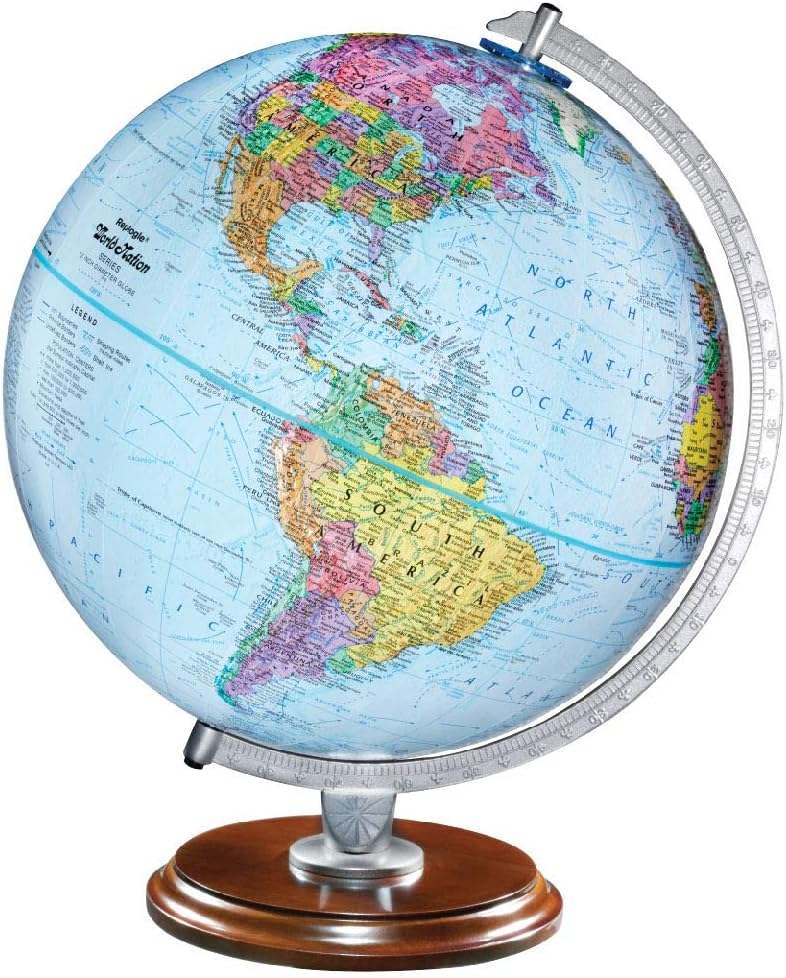
GULF of AMERICA - PREMIUM QUALITY — Bright Blue Oceans, Vividly Colored Islands and Continents, Raised Relief Topography, Designed for Easier Comprehension MADE FOR STUDENTS — Up-To-Date Political Map, Over 4,000 Place Names and Points of Interest, Displays Ocean Topography & Continental Shelf, Shows Shipping Routes, Canals, Ice Shelves & Waterfalls, Easy to Read, Provides the Ultimate Educational Tool
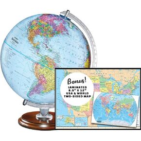 Replogle Student - Educational Classic World globe, Blue Ocean, Raised Relief feature, including a bonus map, made in USA, 12"/30cm diameter
KWD 24.500
Replogle Student - Educational Classic World globe, Blue Ocean, Raised Relief feature, including a bonus map, made in USA, 12"/30cm diameter
KWD 24.500
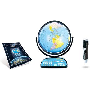 Replogle Intelliglobe,Interactive,Blue Ocean World Globe,Perfect Educational Toy4Kids 12"/30cm diam
KWD 60
Replogle Intelliglobe,Interactive,Blue Ocean World Globe,Perfect Educational Toy4Kids 12"/30cm diam
KWD 60
 Replogle 12" Antique World Classic Globe with square base 12"/30cm diameter
KWD 27.500
Replogle 12" Antique World Classic Globe with square base 12"/30cm diameter
KWD 27.500
 Replogle Eureka 16 inch desktop globe with up to date antique raised relief map and full swing gyromatic assembly
KWD 59
Replogle Eureka 16 inch desktop globe with up to date antique raised relief map and full swing gyromatic assembly
KWD 59