- التسوق ، اصبح سهلا.
- /
- احصل على التطبيق!
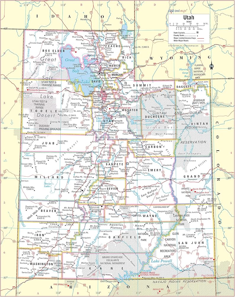
Unique, color banded, this political LARGE PRINT map of UTAH state features geographic details. The map shows all county boundaries, county names with their capitals. Perfect for Schools, Home, Office or Home Schooling.
 The Happy Start™ - كتاب أطفال عالي التباين - كتاب لوحي عالي التباين - كتاب لوحي للأطفال - ألعاب أطفال عالية التباين - ألعاب وقت البطن - مثالية للأطفال من عمر 0 إلى 12 شهرًا (Español)
KWD 4
The Happy Start™ - كتاب أطفال عالي التباين - كتاب لوحي عالي التباين - كتاب لوحي للأطفال - ألعاب أطفال عالية التباين - ألعاب وقت البطن - مثالية للأطفال من عمر 0 إلى 12 شهرًا (Español)
KWD 4
 -37%
الموارد التي تم إنشاؤها للمعلم ، يهدئ الأزرق ، يغطي مرشحات ضوء السقف (TCR20144)
KWD 11
-37%
الموارد التي تم إنشاؤها للمعلم ، يهدئ الأزرق ، يغطي مرشحات ضوء السقف (TCR20144)
KWD 11
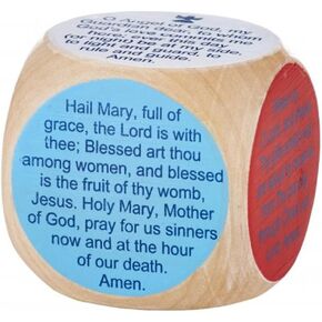 مكعب صلاة الأطفال الكاثوليك
KWD 7
مكعب صلاة الأطفال الكاثوليك
KWD 7
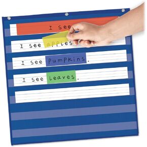 eamay strips strips highlighter for pocket chart ، شرائط القراءة الموجهة ، تعقب القراءة ، مستلزمات مدرس الفصل الدراسي ، 4 ألوان متنوعة ، 24 "× 3" ، 12 شريط
KWD 4.500
eamay strips strips highlighter for pocket chart ، شرائط القراءة الموجهة ، تعقب القراءة ، مستلزمات مدرس الفصل الدراسي ، 4 ألوان متنوعة ، 24 "× 3" ، 12 شريط
KWD 4.500