- Shopping, made easy.
- /
- Get the app!
 Beartooth Publishing Wind River Range South, Wyoming Topographic Shaded Relief Outdoor Recreation Map
KWD 8
Beartooth Publishing Wind River Range South, Wyoming Topographic Shaded Relief Outdoor Recreation Map
KWD 8
 Indian Peaks - James Peak Wilderness - Colorado Topographic Hiking Map (2021)
KWD 4
Indian Peaks - James Peak Wilderness - Colorado Topographic Hiking Map (2021)
KWD 4
 Outdoor Trail Maps LLC Lost Creek Wilderness - Colorado Topographic Hiking Map (2022)
KWD 4
Outdoor Trail Maps LLC Lost Creek Wilderness - Colorado Topographic Hiking Map (2022)
KWD 4
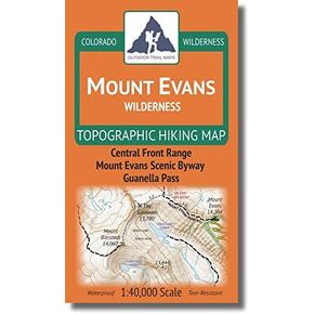 Mount Evans Wilderness - Colorado Topographic Hiking Map (2018)
KWD 4
Mount Evans Wilderness - Colorado Topographic Hiking Map (2018)
KWD 4
 YellowMaps Dyas AL topo map, 1:50000 Scale, 15 X 15 Minute, Historical, 2003, 29.1 x 22.1 in
KWD 16.500
YellowMaps Dyas AL topo map, 1:50000 Scale, 15 X 15 Minute, Historical, 2003, 29.1 x 22.1 in
KWD 16.500
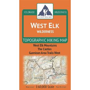 West Elk Wilderness - Colorado Topographic Hiking Map (2019)
KWD 4
West Elk Wilderness - Colorado Topographic Hiking Map (2019)
KWD 4
 Greenhorn Mountain/Spanish Peaks Wilderness - Colorado Topographic Hiking Map (2019)
KWD 4
Greenhorn Mountain/Spanish Peaks Wilderness - Colorado Topographic Hiking Map (2019)
KWD 4
 Outdoor Trail Maps Pikes Peak and Colorado Springs - Topographic Hiking Map (2020)
KWD 4.500
Outdoor Trail Maps Pikes Peak and Colorado Springs - Topographic Hiking Map (2020)
KWD 4.500
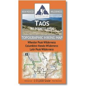 Outdoor Trail Maps Taos Wilderness Areas - New Mexico Hiking (2023)
KWD 4.500
Outdoor Trail Maps Taos Wilderness Areas - New Mexico Hiking (2023)
KWD 4.500
 YellowMaps Peoria IL topo map, 1:250000 Scale, 1 X 2 Degree, Historical, 1990, Updated 1990, 22 x 33.6 in
KWD 16.500
YellowMaps Peoria IL topo map, 1:250000 Scale, 1 X 2 Degree, Historical, 1990, Updated 1990, 22 x 33.6 in
KWD 16.500
 Los Alamos - New Mexico Hiking (2023)
KWD 4.500
Los Alamos - New Mexico Hiking (2023)
KWD 4.500
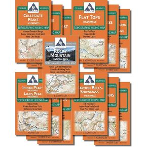 The Colorado Wilderness Map Series, Volume 1 + Rocky Mountain National Park
KWD 33.500
The Colorado Wilderness Map Series, Volume 1 + Rocky Mountain National Park
KWD 33.500
 Adventure Set of 4 Map Rulers 1:24,000 1:62,500 1:100,000 1:126,720
KWD 6
Adventure Set of 4 Map Rulers 1:24,000 1:62,500 1:100,000 1:126,720
KWD 6
 Benchmark Maps California Road & Recreation Atlas
KWD 12.500
Benchmark Maps California Road & Recreation Atlas
KWD 12.500
 Official Central Pennsylvania Appalachian Trail Maps
KWD 8.500
Official Central Pennsylvania Appalachian Trail Maps
KWD 8.500
 YellowMaps Asheboro NC topo map, 1:62500 Scale, 15 X 15 Minute, Historical, 1957, Updated 1959, 21 x 17 in
KWD 12.500
YellowMaps Asheboro NC topo map, 1:62500 Scale, 15 X 15 Minute, Historical, 1957, Updated 1959, 21 x 17 in
KWD 12.500
![Big Sur, Ventana Wilderness Map [Los Padres National Forest] (National Geographic Trails Illustrated Map, 814)](https://cdn1.tilga.com/md/prod/2/896/3/57033143.32249.jpg) Big Sur, Ventana Wilderness Map [Los Padres National Forest] (National Geographic Trails Illustrated Map, 814)
KWD 6.500
Big Sur, Ventana Wilderness Map [Los Padres National Forest] (National Geographic Trails Illustrated Map, 814)
KWD 6.500
 Angeles National Forest Map (National Geographic Trails Illustrated Map, 811)
KWD 6.500
Angeles National Forest Map (National Geographic Trails Illustrated Map, 811)
KWD 6.500
 Southern Wind River Range Hikng Map
KWD 4.500
Southern Wind River Range Hikng Map
KWD 4.500
 The Printed Image Glacier National Park Bandanas
KWD 5.500
The Printed Image Glacier National Park Bandanas
KWD 5.500
 Yellowstone Lake: Yellowstone National Park SE Map (National Geographic Trails Illustrated Map, 305)
KWD 5
Yellowstone Lake: Yellowstone National Park SE Map (National Geographic Trails Illustrated Map, 305)
KWD 5
 Topographic Map Bandana Grand Tetons
KWD 5.500
Topographic Map Bandana Grand Tetons
KWD 5.500
 onX Hunt Premium App: Digital Map Membership for Phone, Tablet, and Computer - Color Coded Land Ownership - Google Imagery - 24k Topo - Hunting Specific Data - Updates for onX Hunt Chip
KWD 14.500
onX Hunt Premium App: Digital Map Membership for Phone, Tablet, and Computer - Color Coded Land Ownership - Google Imagery - 24k Topo - Hunting Specific Data - Updates for onX Hunt Chip
KWD 14.500
 Santa Fe and Pecos Wilderness - New Mexico Hiking (2023)
KWD 4.500
Santa Fe and Pecos Wilderness - New Mexico Hiking (2023)
KWD 4.500
 Rocky Mountain National Park Hiking Map
KWD 6.500
Rocky Mountain National Park Hiking Map
KWD 6.500
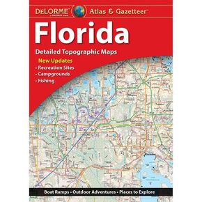 Delorme Atlas & Gazetteer: Florida
KWD 9.500
Delorme Atlas & Gazetteer: Florida
KWD 9.500
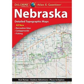 Delorme Atlas & Gazetteer: Nebraska
KWD 7.500
Delorme Atlas & Gazetteer: Nebraska
KWD 7.500
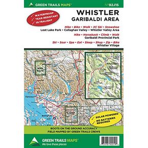 Whistler, BC Canada No. 92J1S (Green Trails Maps)
KWD 6
Whistler, BC Canada No. 92J1S (Green Trails Maps)
KWD 6
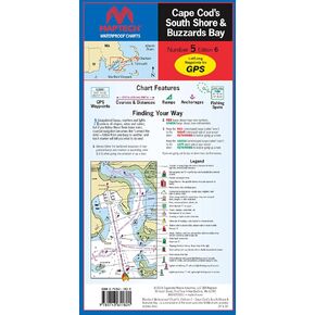 MAPTECH Waterproof Chart WPC005-06, Cape Cod's South Shore & Buzzards Bay, 6th Edition, 24 x 36 inches Open, 6 x 12 inches Folded, 1:53,333 and 1:57,140 Scale, GPS Waypoints, Wreck Sites, Ramp Locations
KWD 16.500
MAPTECH Waterproof Chart WPC005-06, Cape Cod's South Shore & Buzzards Bay, 6th Edition, 24 x 36 inches Open, 6 x 12 inches Folded, 1:53,333 and 1:57,140 Scale, GPS Waypoints, Wreck Sites, Ramp Locations
KWD 16.500
 Rand McNally State Maps: Connecticut/Rhode Island and Massachusetts (2 Maps)
KWD 9.500
Rand McNally State Maps: Connecticut/Rhode Island and Massachusetts (2 Maps)
KWD 9.500
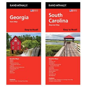 Rand McNally State Maps: Georgia and South Carolina (2 Maps)
KWD 9.500
Rand McNally State Maps: Georgia and South Carolina (2 Maps)
KWD 9.500
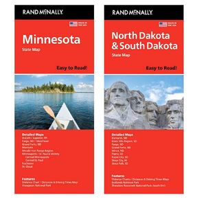 Rand McNally State Maps: Minnesota and North Dakota/South Dakota (2 Maps)
KWD 9.500
Rand McNally State Maps: Minnesota and North Dakota/South Dakota (2 Maps)
KWD 9.500