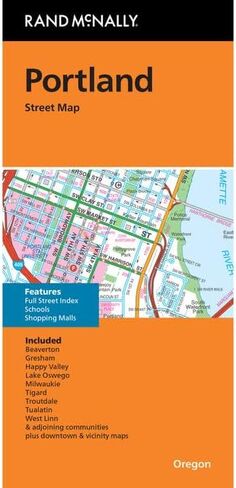
Clearly labeled Interstate, U.S., state, and county highways
Indications of parks, points of interest, airports, county boundaries, schools, shopping malls, downtown & vicinity maps
Major attractions and Golf Courses
Easy-to-use legend
Detailed index and Major Street Index
Copyright 2023
Description
Rand McNally's folded map for Portland is a must-have for anyone traveling in and around this part of Oregon, offering unbeatable accuracy and reliability at a great price. Our trusted cartography shows all Interstate, U.S., state, and county highways, along with clearly indicated parks, points of interest, airports, county boundaries, and streets. The easy-to-use legend and detailed index make for quick and easy location of destinations. You'll see why Rand McNally folded maps have been the trusted standard for years.