- Shopping, made easy.
- /
- Get the app!
 YellowMaps Clanton East AL topo map, 1:24000 Scale, 7.5 X 7.5 Minute, Historical, 1972, Updated 1984, 26.7 x 21.9 in
KWD 12.500
YellowMaps Clanton East AL topo map, 1:24000 Scale, 7.5 X 7.5 Minute, Historical, 1972, Updated 1984, 26.7 x 21.9 in
KWD 12.500
 Boulder County Recreation Topographic Map
KWD 8.500
Boulder County Recreation Topographic Map
KWD 8.500
 Outdoor Trail Maps LLC Eagles Nest Wilderness - Colorado Topographic Hiking Map (2018)
KWD 4
Outdoor Trail Maps LLC Eagles Nest Wilderness - Colorado Topographic Hiking Map (2018)
KWD 4
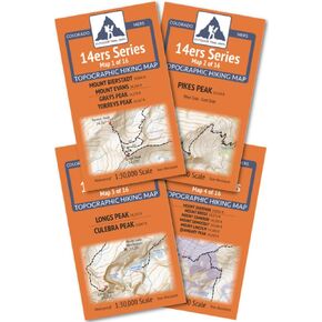 Outdoor Trail Maps Colorado 14ers Series Front-Tenmile-Mosquito Range Map Pack
KWD 9
Outdoor Trail Maps Colorado 14ers Series Front-Tenmile-Mosquito Range Map Pack
KWD 9
 Outdoor Trail Maps Maroon Bells-Snowmass Wilderness - Colorado Topographic Hiking Map (2022)
KWD 4
Outdoor Trail Maps Maroon Bells-Snowmass Wilderness - Colorado Topographic Hiking Map (2022)
KWD 4
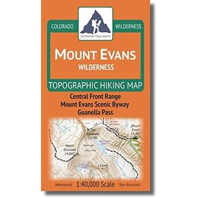 Mount Evans Wilderness - Colorado Topographic Hiking Map (2018)
KWD 4
Mount Evans Wilderness - Colorado Topographic Hiking Map (2018)
KWD 4
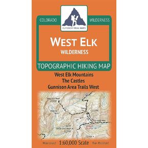 West Elk Wilderness - Colorado Topographic Hiking Map (2019)
KWD 4
West Elk Wilderness - Colorado Topographic Hiking Map (2019)
KWD 4
 Greenhorn Mountain/Spanish Peaks Wilderness - Colorado Topographic Hiking Map (2019)
KWD 4
Greenhorn Mountain/Spanish Peaks Wilderness - Colorado Topographic Hiking Map (2019)
KWD 4
 Gila Wilderness WEST - New Mexico Hiking (2023)
KWD 4.500
Gila Wilderness WEST - New Mexico Hiking (2023)
KWD 4.500
 Map Ruler for Measuring LAT/Lon, Miles, and Kilometers at a Single map Scale
KWD 3
Map Ruler for Measuring LAT/Lon, Miles, and Kilometers at a Single map Scale
KWD 3
 Outdoor Trail Maps Sangre de Cristo Wilderness Map Pack: North Map and South Map
KWD 6.500
Outdoor Trail Maps Sangre de Cristo Wilderness Map Pack: North Map and South Map
KWD 6.500
 Outdoor Trail Maps Poudre Canyon - Colorado Topographic Hiking Map (2020)
KWD 4.500
Outdoor Trail Maps Poudre Canyon - Colorado Topographic Hiking Map (2020)
KWD 4.500
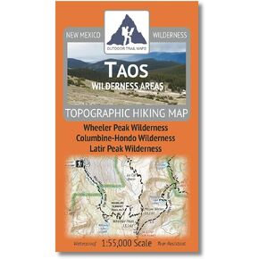 Outdoor Trail Maps Taos Wilderness Areas - New Mexico Hiking (2023)
KWD 4.500
Outdoor Trail Maps Taos Wilderness Areas - New Mexico Hiking (2023)
KWD 4.500
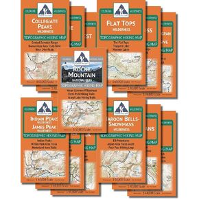 The Colorado Wilderness Map Series, Volume 1 + Rocky Mountain National Park
KWD 35
The Colorado Wilderness Map Series, Volume 1 + Rocky Mountain National Park
KWD 35
 YellowMaps Port Arthur North TX topo map, 1:24000 Scale, 7.5 X 7.5 Minute, Historical, 1993, 27.2 x 23.2 in
KWD 12.500
YellowMaps Port Arthur North TX topo map, 1:24000 Scale, 7.5 X 7.5 Minute, Historical, 1993, 27.2 x 23.2 in
KWD 12.500
 Beartooth Publishing Wind River Range North, Wyoming Topographic Shaded Relief Outdoor Recreation Map
KWD 8
Beartooth Publishing Wind River Range North, Wyoming Topographic Shaded Relief Outdoor Recreation Map
KWD 8
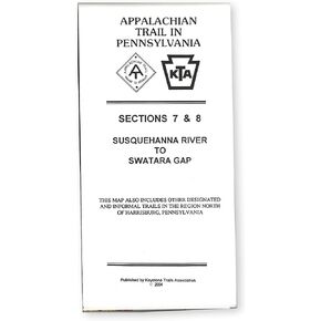 Official Central Pennsylvania Appalachian Trail Maps
KWD 8.500
Official Central Pennsylvania Appalachian Trail Maps
KWD 8.500
 YellowMaps Cape Vincent NY topo map, 1:62500 Scale, 15 X 15 Minute, Historical, 1895, Updated 1917, 20 x 16.6 in
KWD 12.500
YellowMaps Cape Vincent NY topo map, 1:62500 Scale, 15 X 15 Minute, Historical, 1895, Updated 1917, 20 x 16.6 in
KWD 12.500
 Garmin Delorme Atlas & Gazetteer Paper Maps- NH/VT, AA-008826-000
KWD 13.500
Garmin Delorme Atlas & Gazetteer Paper Maps- NH/VT, AA-008826-000
KWD 13.500
 YellowMaps Asheboro NC topo map, 1:62500 Scale, 15 X 15 Minute, Historical, 1957, Updated 1959, 21 x 17 in
KWD 12.500
YellowMaps Asheboro NC topo map, 1:62500 Scale, 15 X 15 Minute, Historical, 1957, Updated 1959, 21 x 17 in
KWD 12.500
 -14%
Scratch Off Colorado Fourteeners Map Poster - 14ers Mountain Peaks - Ideal Bucket list Gift for Climbers - 22 x 17
KWD 6
-14%
Scratch Off Colorado Fourteeners Map Poster - 14ers Mountain Peaks - Ideal Bucket list Gift for Climbers - 22 x 17
KWD 6
![Tahoe National Forest West Map [Yuba and American Rivers] (National Geographic Trails Illustrated Map, 804) in Kuwait](https://cdn1.tilga.com/md/prod/2/907/3/57199706.47853.jpg) -8%
Tahoe National Forest West Map [Yuba and American Rivers] (National Geographic Trails Illustrated Map, 804)
KWD 6
-8%
Tahoe National Forest West Map [Yuba and American Rivers] (National Geographic Trails Illustrated Map, 804)
KWD 6
 Southern Wind River Range Hikng Map
KWD 4.500
Southern Wind River Range Hikng Map
KWD 4.500
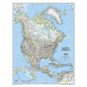 National Geographic North America Wall Map - Classic - Laminated (23.5 x 30.25 in) (National Geographic Reference Map)
KWD 10.500
National Geographic North America Wall Map - Classic - Laminated (23.5 x 30.25 in) (National Geographic Reference Map)
KWD 10.500
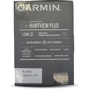 Garmin Huntview Plus Maps 2024/2025- Idaho
KWD 36.500
Garmin Huntview Plus Maps 2024/2025- Idaho
KWD 36.500
 Green Trails Maps, Brief 147
KWD 6
Green Trails Maps, Brief 147
KWD 6
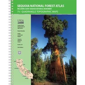 USDA Sequoia National Forest Atlas
KWD 29
USDA Sequoia National Forest Atlas
KWD 29
 Elkin North NC topo map, 1:24000 Scale, 7.5 X 7.5 Minute, Historical, 2000, Updated 2003, 26.6 x 21.7 in
KWD 26.500
Elkin North NC topo map, 1:24000 Scale, 7.5 X 7.5 Minute, Historical, 2000, Updated 2003, 26.6 x 21.7 in
KWD 26.500
 Hallton PA topo map, 1:24000 Scale, 7.5 X 7.5 Minute, Historical, 1969, Updated 1972, 26.9 x 22 in
KWD 26.500
Hallton PA topo map, 1:24000 Scale, 7.5 X 7.5 Minute, Historical, 1969, Updated 1972, 26.9 x 22 in
KWD 26.500