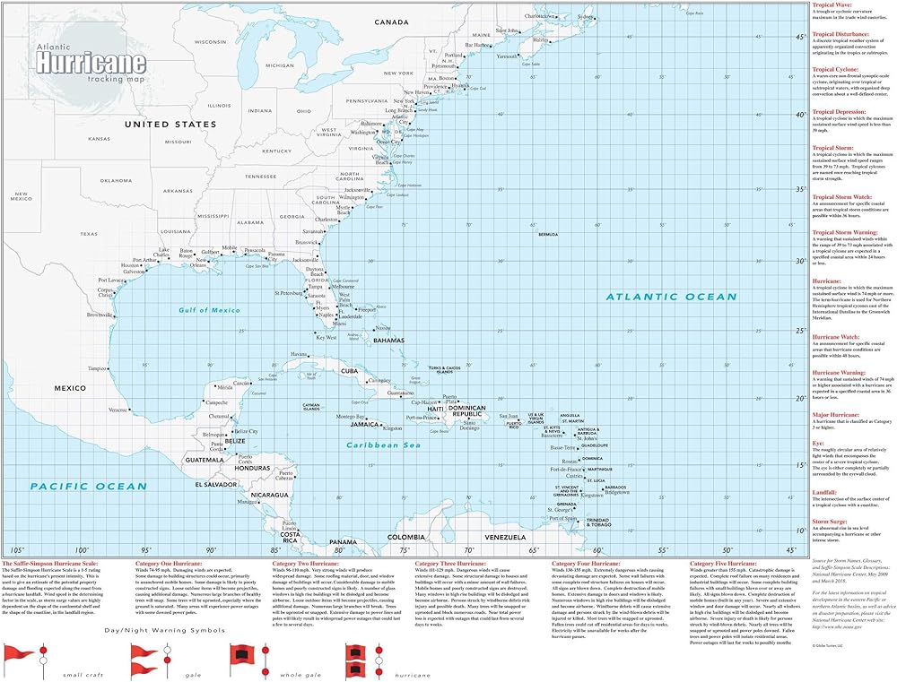
مثالية للمنزل أو العمل أو المدرسة أو وكالة تخطيط الطوارئ الحكومية، هذه الخريطة لوسط وغرب شمال المحيط الأطلسي والبحر الكاريبي وخليج المكسيك مقسمة إلى خطوط شبكية لخطوط الطول والعرض بدرجة واحدة لتسهيل تتبع الأنظمة الاستوائية . تتضمن الخريطة مسردًا لمصطلحات الأرصاد الجوية الاستوائية وشرحًا لمقياس رياح الأعاصير سافير-سيمبسون.
تم إنشاؤه بواسطة Globe Turner، أحد المنتجين الرائدين لمنتجات الخرائط في الولايات المتحدة الأمريكية.
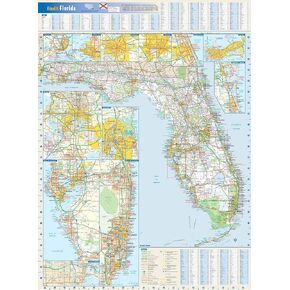 خريطة حائط لولاية فلوريدا غلوب تورنر - قماش ملفوف مقاس 55.88 سم × 76.2 سم
KWD 15
خريطة حائط لولاية فلوريدا غلوب تورنر - قماش ملفوف مقاس 55.88 سم × 76.2 سم
KWD 15
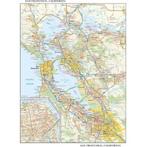 خريطة حائط سان فرانسيسكو، كاليفورنيا، كبيرة - ورق مقاس 22.75 × 29 بوصة
KWD 18.500
خريطة حائط سان فرانسيسكو، كاليفورنيا، كبيرة - ورق مقاس 22.75 × 29 بوصة
KWD 18.500
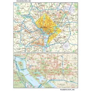 خريطة حائط واشنطن العاصمة، صغيرة - 11.25 بوصة × 14.75 بوصة من البلاستيك غير اللامع
KWD 14.500
خريطة حائط واشنطن العاصمة، صغيرة - 11.25 بوصة × 14.75 بوصة من البلاستيك غير اللامع
KWD 14.500
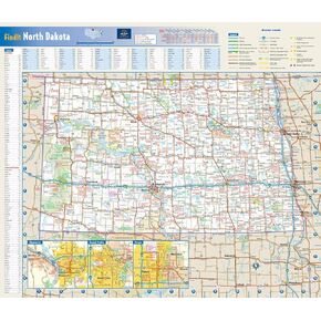 خريطة حائط ولاية داكوتا الشمالية - 17.75 بوصة × 15.25 بوصة من البلاستيك غير اللامع
KWD 9
خريطة حائط ولاية داكوتا الشمالية - 17.75 بوصة × 15.25 بوصة من البلاستيك غير اللامع
KWD 9