- Shopping, made easy.
- /
- Get the app!
 Outdoor Trail Maps LLC Eagles Nest Wilderness - Colorado Topographic Hiking Map (2018)
KWD 4
Outdoor Trail Maps LLC Eagles Nest Wilderness - Colorado Topographic Hiking Map (2018)
KWD 4
 Indian Peaks - James Peak Wilderness - Colorado Topographic Hiking Map (2021)
KWD 4
Indian Peaks - James Peak Wilderness - Colorado Topographic Hiking Map (2021)
KWD 4
 Greenhorn Mountain/Spanish Peaks Wilderness - Colorado Topographic Hiking Map (2019)
KWD 4
Greenhorn Mountain/Spanish Peaks Wilderness - Colorado Topographic Hiking Map (2019)
KWD 4
 Gila Wilderness WEST - New Mexico Hiking (2023)
KWD 4.500
Gila Wilderness WEST - New Mexico Hiking (2023)
KWD 4.500
 Flat Tops Wilderness - Colorado Topographic Hiking Map (2018)
KWD 4
Flat Tops Wilderness - Colorado Topographic Hiking Map (2018)
KWD 4
 Map Ruler for Measuring LAT/Lon, Miles, and Kilometers at a Single map Scale
KWD 3
Map Ruler for Measuring LAT/Lon, Miles, and Kilometers at a Single map Scale
KWD 3
 Outdoor Trail Maps Sangre de Cristo Wilderness Map Pack: North Map and South Map
KWD 6.500
Outdoor Trail Maps Sangre de Cristo Wilderness Map Pack: North Map and South Map
KWD 6.500
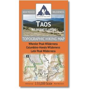 Outdoor Trail Maps Taos Wilderness Areas - New Mexico Hiking (2023)
KWD 4.500
Outdoor Trail Maps Taos Wilderness Areas - New Mexico Hiking (2023)
KWD 4.500
 Vail Area Hiking Map Pack: Eagles Nest and Holy Cross Wilderness Topographic Maps
KWD 6.500
Vail Area Hiking Map Pack: Eagles Nest and Holy Cross Wilderness Topographic Maps
KWD 6.500
 YellowMaps Port Arthur North TX topo map, 1:24000 Scale, 7.5 X 7.5 Minute, Historical, 1993, 27.2 x 23.2 in
KWD 12.500
YellowMaps Port Arthur North TX topo map, 1:24000 Scale, 7.5 X 7.5 Minute, Historical, 1993, 27.2 x 23.2 in
KWD 12.500
 Franko Maps MAP FML CA Santa Catalina Guide
KWD 4
Franko Maps MAP FML CA Santa Catalina Guide
KWD 4
 Benchmark Maps California Road & Recreation Atlas
KWD 12.500
Benchmark Maps California Road & Recreation Atlas
KWD 12.500
 YellowMaps Castle Dome Peak AZ topo map, 1:24000 Scale, 7.5 X 7.5 Minute, Historical, 1990, Updated 1990, 26.8 x 22 in
KWD 12.500
YellowMaps Castle Dome Peak AZ topo map, 1:24000 Scale, 7.5 X 7.5 Minute, Historical, 1990, Updated 1990, 26.8 x 22 in
KWD 12.500
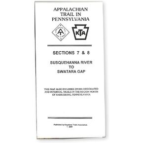 Official Central Pennsylvania Appalachian Trail Maps
KWD 8.500
Official Central Pennsylvania Appalachian Trail Maps
KWD 8.500
 YellowMaps Asheboro NC topo map, 1:62500 Scale, 15 X 15 Minute, Historical, 1957, Updated 1959, 21 x 17 in
KWD 12.500
YellowMaps Asheboro NC topo map, 1:62500 Scale, 15 X 15 Minute, Historical, 1957, Updated 1959, 21 x 17 in
KWD 12.500
 Guatemala Map (National Geographic Adventure Map, 3110)
KWD 6.500
Guatemala Map (National Geographic Adventure Map, 3110)
KWD 6.500
 -23%
Olympic National Park Map (National Geographic Trails Illustrated Map, 216)
KWD 5
-23%
Olympic National Park Map (National Geographic Trails Illustrated Map, 216)
KWD 5
![Big Sur, Ventana Wilderness Map [Los Padres National Forest] (National Geographic Trails Illustrated Map, 814)](https://cdn1.tilga.com/md/prod/2/896/3/57033143.32249.jpg) Big Sur, Ventana Wilderness Map [Los Padres National Forest] (National Geographic Trails Illustrated Map, 814)
KWD 6.500
Big Sur, Ventana Wilderness Map [Los Padres National Forest] (National Geographic Trails Illustrated Map, 814)
KWD 6.500
 Scratch Off Colorado Fourteeners Map Poster - 14ers Mountain Peaks - Ideal Bucket list Gift for Climbers - 22 x 17
KWD 7
Scratch Off Colorado Fourteeners Map Poster - 14ers Mountain Peaks - Ideal Bucket list Gift for Climbers - 22 x 17
KWD 7
 Backcountry: The Game of Wilderness Survival: Great Smoky Mountains Edition
KWD 11.500
Backcountry: The Game of Wilderness Survival: Great Smoky Mountains Edition
KWD 11.500
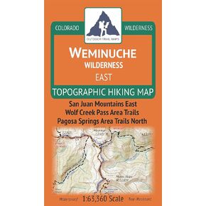 Outdoor Trail Maps Weminuche Wilderness East - Colorado Topographic Hiking Map (2019)
KWD 4
Outdoor Trail Maps Weminuche Wilderness East - Colorado Topographic Hiking Map (2019)
KWD 4
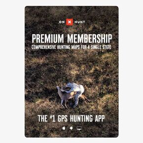 onX Hunt Premium App: Digital Map Membership for Phone, Tablet, and Computer - Color Coded Land Ownership - Google Imagery - 24k Topo - Hunting Specific Data - Updates for onX Hunt Chip
KWD 14.500
onX Hunt Premium App: Digital Map Membership for Phone, Tablet, and Computer - Color Coded Land Ownership - Google Imagery - 24k Topo - Hunting Specific Data - Updates for onX Hunt Chip
KWD 14.500
 Santa Fe and Pecos Wilderness - New Mexico Hiking (2023)
KWD 4.500
Santa Fe and Pecos Wilderness - New Mexico Hiking (2023)
KWD 4.500
 Rocky Mountain National Park Hiking Map
KWD 6.500
Rocky Mountain National Park Hiking Map
KWD 6.500
 -38%
Biggest Loser: The Workout: Boot Camp (Maple Pictures)
KWD 2.500
-38%
Biggest Loser: The Workout: Boot Camp (Maple Pictures)
KWD 2.500
 Garmin Huntview Plus Maps 2024/2025- Idaho
KWD 35
Garmin Huntview Plus Maps 2024/2025- Idaho
KWD 35
 MAPTECH Waterproof Chart WPC005-06, Cape Cod's South Shore & Buzzards Bay, 6th Edition, 24 x 36 inches Open, 6 x 12 inches Folded, 1:53,333 and 1:57,140 Scale, GPS Waypoints, Wreck Sites, Ramp Locations
KWD 16.500
MAPTECH Waterproof Chart WPC005-06, Cape Cod's South Shore & Buzzards Bay, 6th Edition, 24 x 36 inches Open, 6 x 12 inches Folded, 1:53,333 and 1:57,140 Scale, GPS Waypoints, Wreck Sites, Ramp Locations
KWD 16.500
 Lone Butte 365
KWD 5.500
Lone Butte 365
KWD 5.500
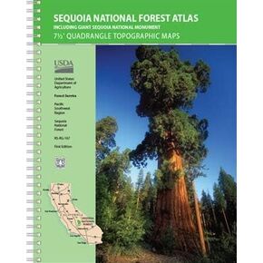 USDA Sequoia National Forest Atlas
KWD 27.500
USDA Sequoia National Forest Atlas
KWD 27.500
 Garmin Huntview Plus Maps 2024/2025- Utah
KWD 35
Garmin Huntview Plus Maps 2024/2025- Utah
KWD 35
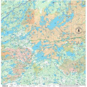 BWCA Map - BWCA 11 – Waterproof, Durable Cloth Map for Canoeing, Hiking, and Camping by True North Map Company
KWD 12.500
BWCA Map - BWCA 11 – Waterproof, Durable Cloth Map for Canoeing, Hiking, and Camping by True North Map Company
KWD 12.500
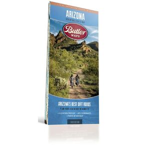 Butler Maps Arizona Adventure Series Map
KWD 11
Butler Maps Arizona Adventure Series Map
KWD 11