- Shopping, made easy.
- /
- Get the app!
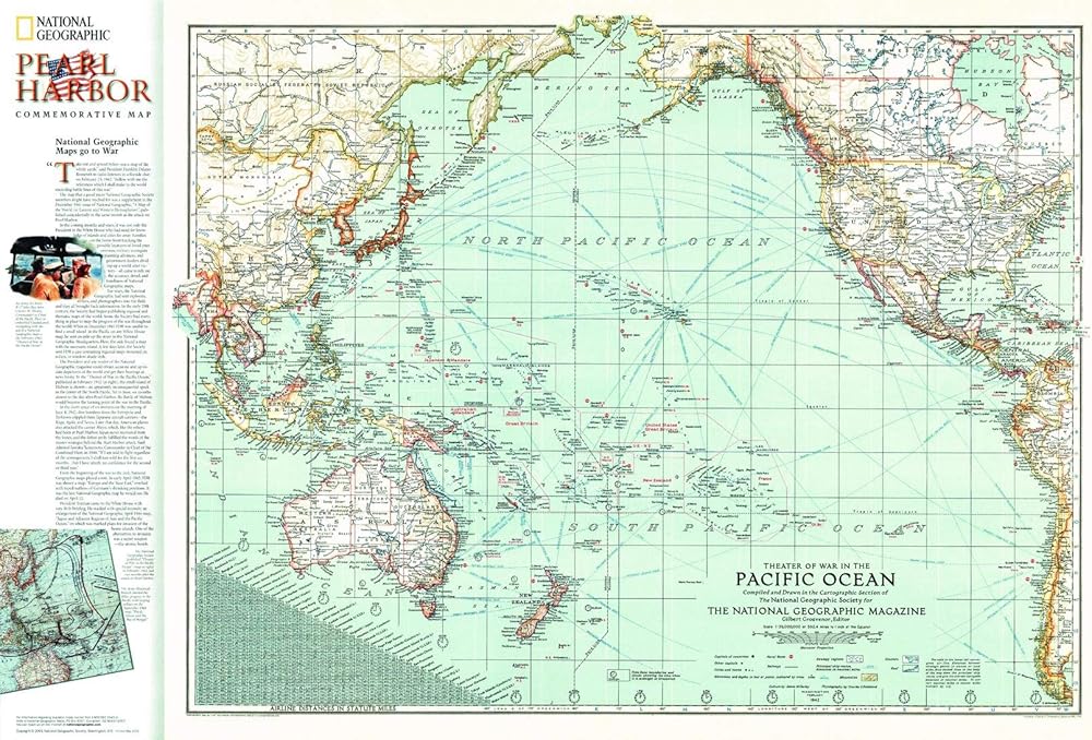
"The vast Pacific theatre of war - the most far-flung battleground the world has ever seen - is revealed in its entirety" on this impressive vintage map that shows the expanse of the ocean from Asia to the Americas. Published in February 1942, this WWII map accompanied the article "Facts about the Philippines." It was reprinted to accompany a commemorative Pearl Harbor map in 2001.
An exceptional historical piece, this map was produced a mere two months after the impactful bombing of Pearl Harbor. It features time zones, naval bases, ship routes, airline distances. Sovereign regions are outlined in red, providing the reader with a complete picture of the boundaries between areas controlled by Japan, Australia, Great Britain, New Zealand and the United States.
This map offers a shift in perspective as it centers around the Pacific Ocean with the Americas to the right and Asia to the left. Additions to the 2001 commemorative map include a small inset of the Army Historical Branch's charting of Allied progress in the Pacific in 1943, demonstrating just how much one year can change the face of a region.
This vintage historical map is a compelling piece for collectors and those interested in war history, and specifically, the Second World War and the impacts of Pearl Harbor. It makes a wonderful companion to the Pearl Harbor 60th anniversay commemorative map also published in 2001.
Your laminated map has a glossy finish so that you can use dry erase markers on the map to highlight features, make plans, and share unique information with others. Lamination is also extremely durable, resistant to folding or ripping.
Your map is rolled and packaged in a sturdy tube to protect it during shipment.
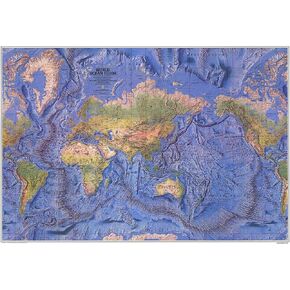 National Geographic World Ocean Floor - 42.5 x 29.5 inches - Paper Rolled
KWD 0
National Geographic World Ocean Floor - 42.5 x 29.5 inches - Paper Rolled
KWD 0
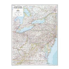 National Geographic: Mid-Atlantic USA Wall Map - 22 x 28 inches - Laminated
KWD 13.500
National Geographic: Mid-Atlantic USA Wall Map - 22 x 28 inches - Laminated
KWD 13.500
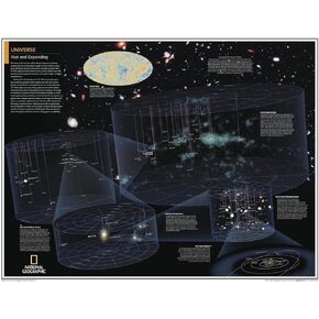 National Geographic: Universe: Vast and Expanding - Poster - 28 x 22 inches - Laminated
KWD 13.500
National Geographic: Universe: Vast and Expanding - Poster - 28 x 22 inches - Laminated
KWD 13.500
 National Geographic World Executive Wall Map - Antique Style - 36 x 24 inches - Art Quality Print
KWD 16.500
National Geographic World Executive Wall Map - Antique Style - 36 x 24 inches - Art Quality Print
KWD 16.500