- Shopping, made easy.
- /
- Get the app!
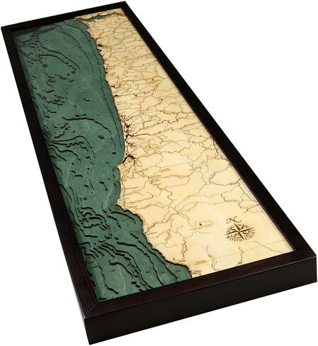
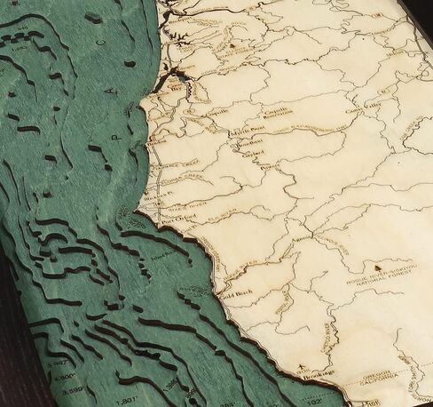
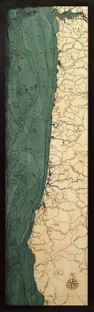
The Oregon Coast runs North-South along the Pacific ocean, forming the Western border of the state; the region is bounded to the East by the Oregon Coast range. The Oregon Coast stretches approximately 363 miles from the Columbia River in the North to the California state border in the south. This Chart is 13.5x 43Solid wood framed, crystal clear acrylic covered. 3- dimensional, bathymetric Chart carved in Baltic birch wood. Intricate detail is carved and laser etched creating a unique & accurate artwork. Special finishing techniques bring out the natural grain of the Baltic birch. Get the most detailed Chart on the market at the best price! laser cut topographic Map, up to eight layers deep depicting the shoreline and bottom contours of the Oregon Coast. Created from nautical charts with special laser technology to show precise shorelines, depths, landmarks and lettering.
 ALVIN Paral-Liner, Mobile Parallel Straight Edge 36" Model 1101-36 Drafting and Architecture Tool for Drawing Parallel Lines, Great for Students and Professionals - 36 Inches
KWD 77
ALVIN Paral-Liner, Mobile Parallel Straight Edge 36" Model 1101-36 Drafting and Architecture Tool for Drawing Parallel Lines, Great for Students and Professionals - 36 Inches
KWD 77
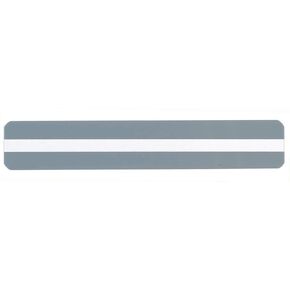
 Dyslexia Tools, 16Pcs Guided Reading Strips Colored Overlay Highlight Bookmarks Highlight Strips Reading Tracking Rulers Bookmark for Dyslexia, ADHD and to Reduce Visual Stress
KWD 3
Dyslexia Tools, 16Pcs Guided Reading Strips Colored Overlay Highlight Bookmarks Highlight Strips Reading Tracking Rulers Bookmark for Dyslexia, ADHD and to Reduce Visual Stress
KWD 3
 Reading Guide Highlight Text Guide, Set of 10 (Clear 10)
KWD 4.500
Reading Guide Highlight Text Guide, Set of 10 (Clear 10)
KWD 4.500
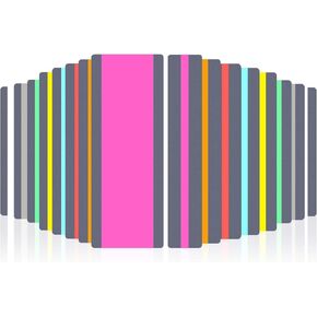 16PCS Guided Reading Highlight Strips Reading Strips Adult ADHD Dysgraphia Tools Colored Overlay Reading Accessories Reading Tabs Sentence Strips Book Markers Reading Dyslexia Reading Tools
KWD 2.500
16PCS Guided Reading Highlight Strips Reading Strips Adult ADHD Dysgraphia Tools Colored Overlay Reading Accessories Reading Tabs Sentence Strips Book Markers Reading Dyslexia Reading Tools
KWD 2.500