- Shopping, made easy.
- /
- Get the app!
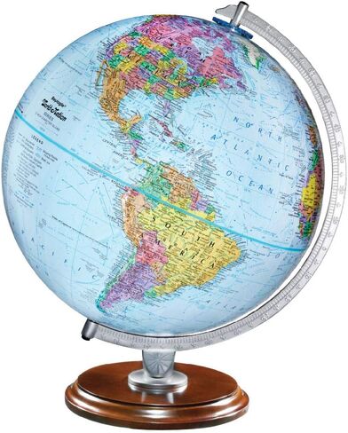
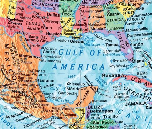
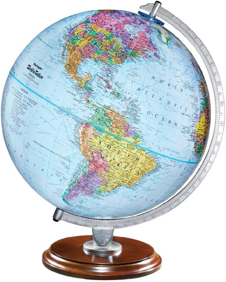
GULF of AMERICA - PREMIUM QUALITY — Bright Blue Oceans, Vividly Colored Islands and Continents, Raised Relief Topography, Designed for Easier Comprehension MADE FOR STUDENTS — Up-To-Date Political Map, Over 4,000 Place Names and Points of Interest, Displays Ocean Topography & Continental Shelf, Shows Shipping Routes, Canals, Ice Shelves & Waterfalls, Easy to Read, Provides the Ultimate Educational Tool
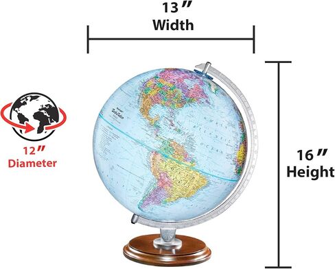
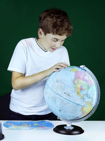
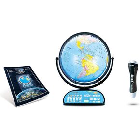 Replogle Intelliglobe,Interactive,Blue Ocean World Globe,Perfect Educational Toy4Kids 12"/30cm diam
KWD 59.500
Replogle Intelliglobe,Interactive,Blue Ocean World Globe,Perfect Educational Toy4Kids 12"/30cm diam
KWD 59.500
 Replogle 12" Antique World Classic Globe with square base 12"/30cm diameter
KWD 27.500
Replogle 12" Antique World Classic Globe with square base 12"/30cm diameter
KWD 27.500
 Replogle Globe - Educational Raised Political Relief & Mountains Ranges, Showcases Ocean Currents with 2023 Country Lines - Perfect for a Classroom, Home or Office - 12" Blue Ocean Globe & Black Base
KWD 29.500
Replogle Globe - Educational Raised Political Relief & Mountains Ranges, Showcases Ocean Currents with 2023 Country Lines - Perfect for a Classroom, Home or Office - 12" Blue Ocean Globe & Black Base
KWD 29.500
 Replogle Odessa - Antique Ocean 2-Way Map, Illuminated World Globe, Raised Relief, Up-to-Date Cartography, Made in USA(12"/30cm Diameter) …
KWD 35.500
Replogle Odessa - Antique Ocean 2-Way Map, Illuminated World Globe, Raised Relief, Up-to-Date Cartography, Made in USA(12"/30cm Diameter) …
KWD 35.500