- Shopping, made easy.
- /
- Get the app!
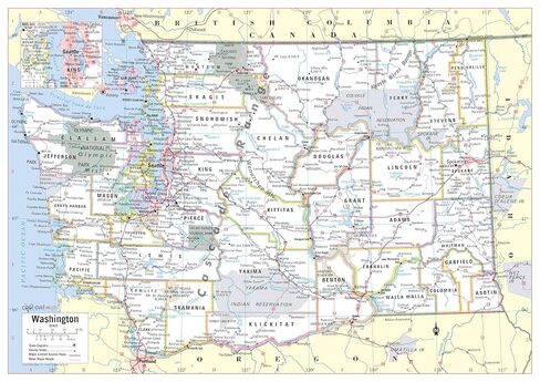
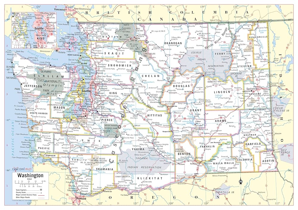
Unique, color banded, this political LARGE PRINT map of Washington state features geographic details. The map shows all county boundaries, county names with their capitals. Inset map shows the Seattle area. Perfect for Schools, Home, Office or Home Schooling. - Large Print for easy reading - Counties with banded boundaries - All counties and their capitals - Major cities, selection of parks, monuments - Major Limited Access Highways - Major Geographical features - Size 34"W x 24"H inches (paper or laminated) - MADE in USA / PRINTED in USA 2025 - original cartographic work.
 HISTORIX 2021 North America Map - 18x24 Inch Map of North America Wall Art - Mapa de America - North America Wall Map - Map of North America Poster
KWD 16.500
HISTORIX 2021 North America Map - 18x24 Inch Map of North America Wall Art - Mapa de America - North America Wall Map - Map of North America Poster
KWD 16.500
 FUSTMW PE Teacher Whistle Gifts P.E. Teacher Appreciation Gifts Physical Education Teacher Gifts Gym Teacher Thank You Gifts
KWD 4.500
FUSTMW PE Teacher Whistle Gifts P.E. Teacher Appreciation Gifts Physical Education Teacher Gifts Gym Teacher Thank You Gifts
KWD 4.500
 -13%
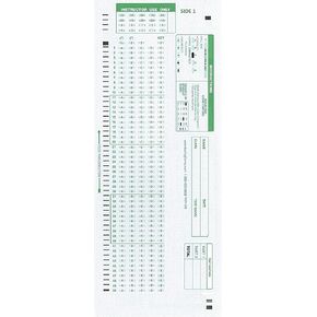
TEST-100E 882 E Compatible Testing Forms (50 Sheet Pack)
KWD 3.500
-13%
TEST-100E 882 E Compatible Testing Forms (50 Sheet Pack)
KWD 3.500
 HeyKiddo Toddler Busy Book, 2023 Newest Autism Toys for Kids, Preschool Learning Activity Binder, Educational Book for Autism & Special Needs, Drawing Book for Home School Learning
KWD 8
HeyKiddo Toddler Busy Book, 2023 Newest Autism Toys for Kids, Preschool Learning Activity Binder, Educational Book for Autism & Special Needs, Drawing Book for Home School Learning
KWD 8