- Shopping, made easy.
- /
- Get the app!
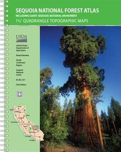
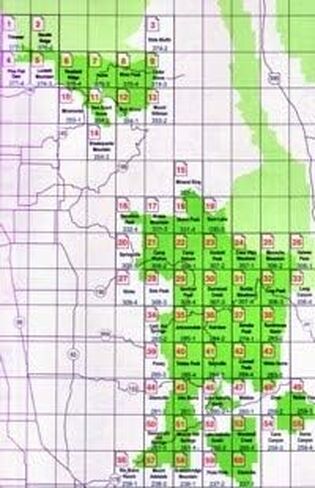
USDA NFS Pacific Southwest Region Sequoia National Forest Atlas (Including Giant Sequoia National Monument) features 7-1/2-minute-by7-1/2-minute quadrangle topographic maps on 60 map sheets covering the entire Sequoia National Forest and Sequoia National Monument at 1:63,360-scale (1 inch to the mile). Maps include roads and trails, camping and recreation facilities, wilderness areas, UTM and latitude/longitude coordinates, contours and elevations, and shaded relief.
National Forest Atlases are full color atlases, containing 8.5 × 11 inch topographic quadrangle maps at 1 inch to the mile scale and are available for many of the forests in Califorina.
Year - 2019
7-1/2 Minute Quadrangle Topographic Maps
Scale - 1" to the Mile
Topo Lines - Yes
Spiralbound
62 plastic pages
 Boulder County Recreation Topographic Map
KWD 8.500
Boulder County Recreation Topographic Map
KWD 8.500
 Lizard Head - Mount Sneffels Wilderness - Colorado Topographic Hiking Map (2018)
KWD 4
Lizard Head - Mount Sneffels Wilderness - Colorado Topographic Hiking Map (2018)
KWD 4
 Outdoor Trail Maps LLC Hunter-Fryingpan/Mount Massive Wilderness - Colorado Topographic Hiking Map (2018)
KWD 4
Outdoor Trail Maps LLC Hunter-Fryingpan/Mount Massive Wilderness - Colorado Topographic Hiking Map (2018)
KWD 4
 Collegiate Peaks Wilderness - Colorado Topographic Hiking Map (2018)
KWD 4
Collegiate Peaks Wilderness - Colorado Topographic Hiking Map (2018)
KWD 4