- Shopping, made easy.
- /
- Get the app!
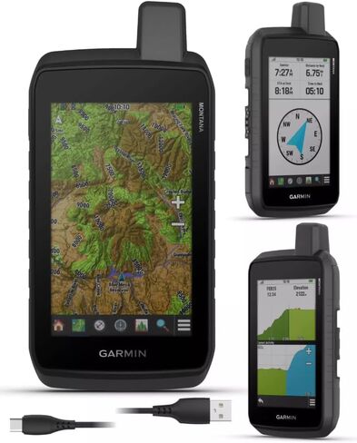
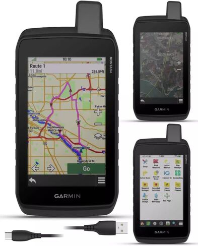
Stay on track with the rugged Montana 710 handheld GPS navigator. Built to guide you through all kinds of adventures, it includes TopoActive mapping and a glove-friendly 5” color touchscreen. Expanded 32 GB memory capacity lets you store more maps to keep your expeditions on course. High-resolution satellite imagery, available via subscription-free, direct-to-device downloads (requires a connection with Wi-Fi technology), shows a clear overhead view of your route and surrounding terrain. Get the on- or off-road capabilities you need with multi-GNSS satellite network support and ABC sensors. Add ongoing access to Outdoor Maps+ (sold separately) for a wide variety of premium mapping content. Explore longer with up to 24 hours of battery life in GPS mode and up to 432 hours in ultralow-powered expedition mode, and recharge easily with a standard USB-C cable.
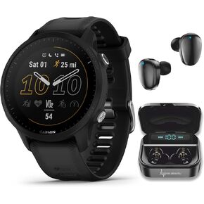 Wearable4U Garmin Forerunner 255 Music GPS Running 46 mm Smartwatch, Advanced Insights, Long-Lasting Battery, Whitestone White Earbuds Bundle
KWD 126
Wearable4U Garmin Forerunner 255 Music GPS Running 46 mm Smartwatch, Advanced Insights, Long-Lasting Battery, Whitestone White Earbuds Bundle
KWD 126
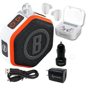 Wearable4U Bushnell Wingman Mini Orange/White GPS Bluetooth Speaker Ultimate White Earbuds and Wall/Car Chargers Bundle
KWD 43.500
Wearable4U Bushnell Wingman Mini Orange/White GPS Bluetooth Speaker Ultimate White Earbuds and Wall/Car Chargers Bundle
KWD 43.500
 Wearable4U - Bushnell iON Elite Black Golf GPS Watch with Lens Cleaning Cloth Bundle
KWD 74
Wearable4U - Bushnell iON Elite Black Golf GPS Watch with Lens Cleaning Cloth Bundle
KWD 74
 -17%
Wearable4U - Garmin Approach S12 Premium GPS Golf Watch, Black and All-in-One Golf Tools Bundle
KWD 63
-17%
Wearable4U - Garmin Approach S12 Premium GPS Golf Watch, Black and All-in-One Golf Tools Bundle
KWD 63