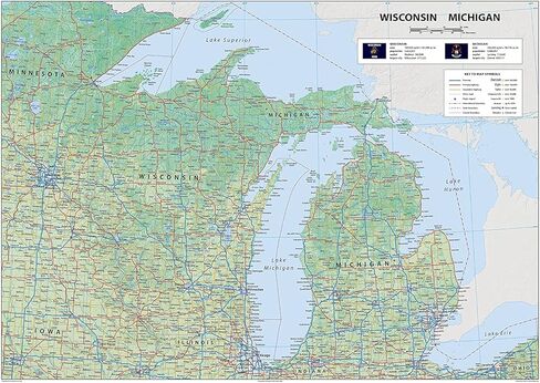
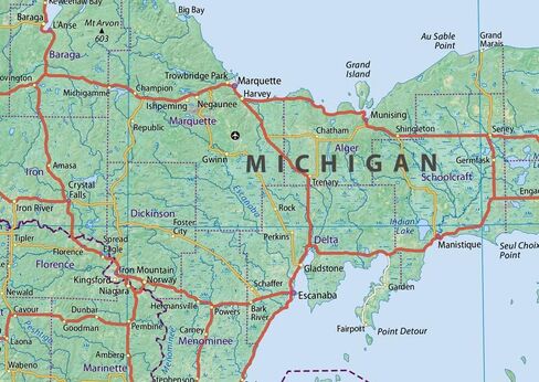
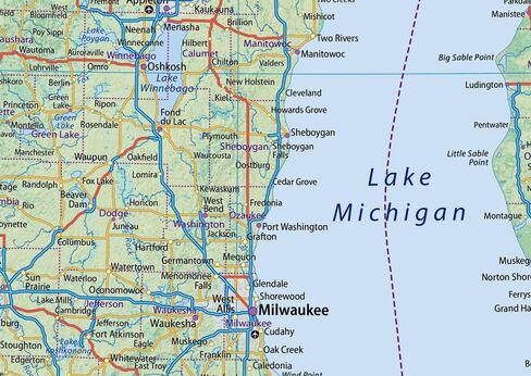
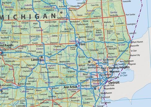
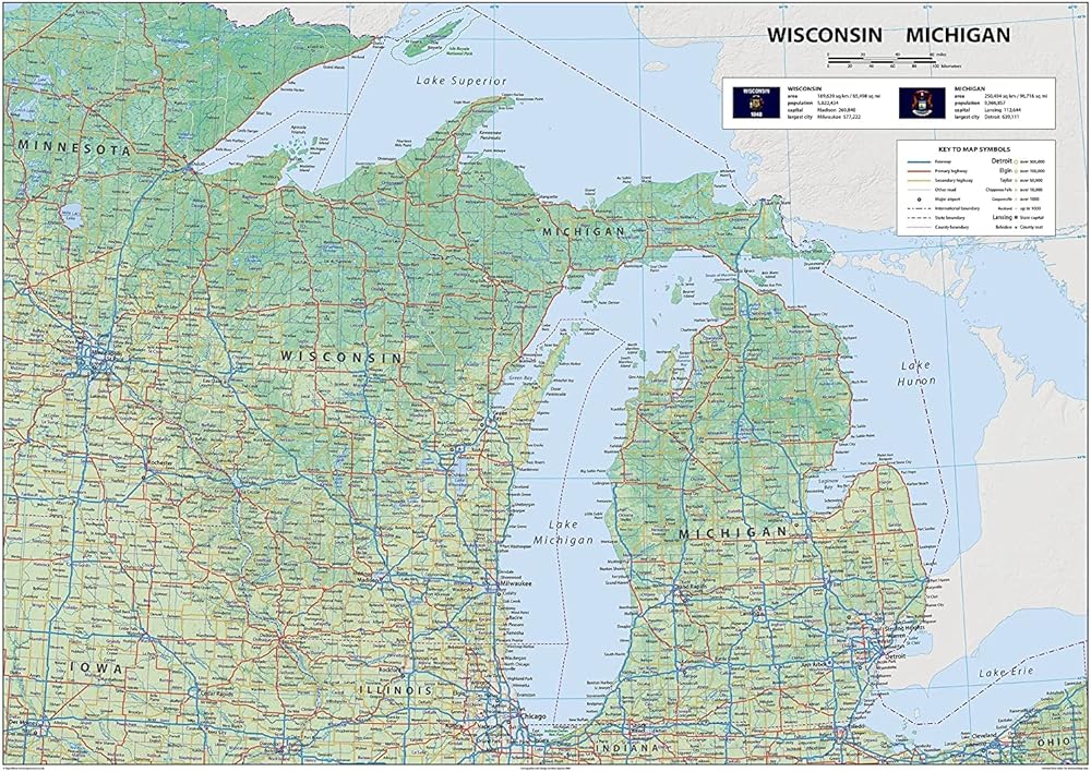
Explore Wisconsin and Michigan with this informative US State Map. Wisconsin borders Minnesota, Iowa, and Illinois. Michigan, with its land borders to Indiana and Ohio, and connecting lakes, features Detroit, Grand Rapids, Ann Arbor, and the state capital, Lansing. Major cities in Wisconsin, like Milwaukee, Green Bay, and Kenosha, are shown, as well as Madison, the state capital. Discover Michigan and Wisconsin in detail. Bring your travels to life with this easy-to-read map.
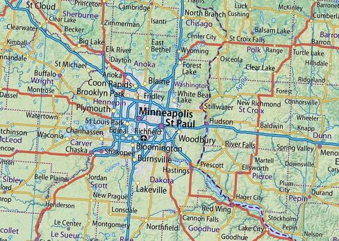
You'll be able to explore the Midwest in full and maybe find the perfect spot for your next adventure and discover the charm of the Midwest for yourself. Our Physical Map of Wisconsin & Michigan showcases its geography, with easy-to-read text, and features like capital cities, rivers, major roads, towns, and bodies of water. It's perfect for any room, office, or school, and a great way to gain a comprehensive view of the State.
Size - 23.3 x 16.5 Inches
Printed onto high-quality paper and laminated for durability.