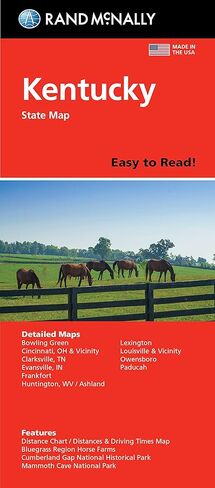
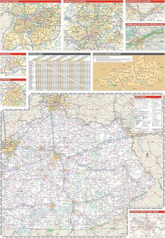
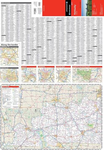
48% larger map with a bigger type size than the Rand McNally Folded Map
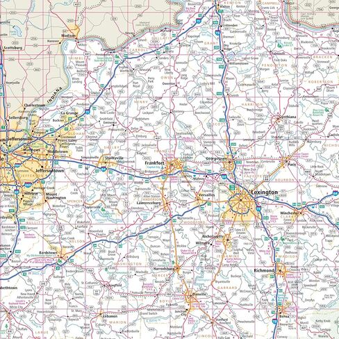
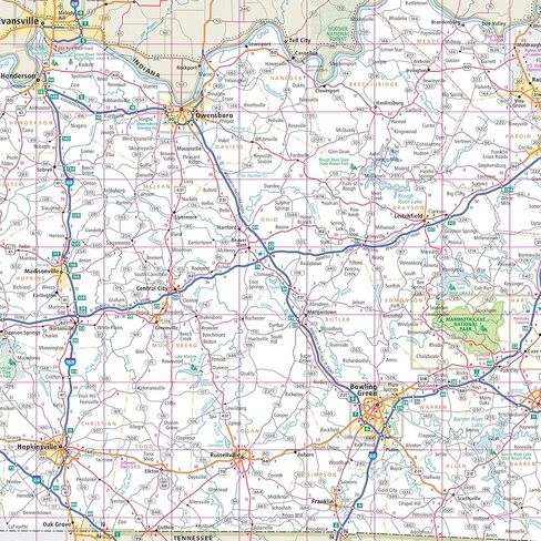
Clearly labeled Interstate, U.S., state, and county highways
Indications of parks, points of interest, airports, county boundaries, and more
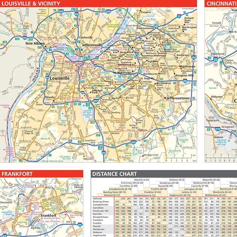
Mileage and driving times map
Detailed index
Convenient folded size
Copyright 2018
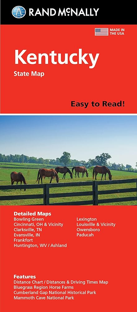
Description
Rand McNally's Easy To Read State Folded Map is a must-have for anyone traveling, offering unbeatable accuracy and reliability at a great price. Our trusted cartography shows all Interstate, U.S., state, and county highways, along with clearly indicated parks, points of interest, airports, county boundaries, and streets. The easy-to-use legend and detailed index make for quick and easy location of destinations. You'll see why Rand McNally folded maps have been the trusted standard for years. • Regularly updated, full-color maps.