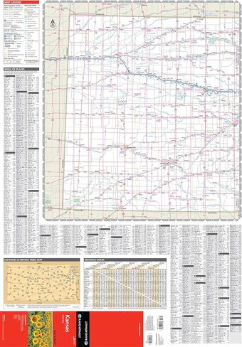
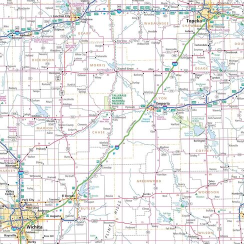
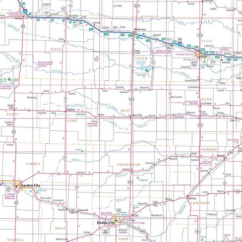
Clearly labeled Interstate, U.S., state, and county highways
Indications of parks, points of interest, airports, county boundaries, and more
Mileage and driving times map
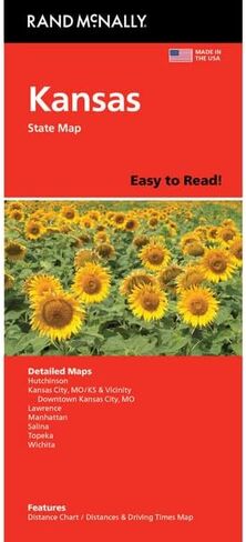
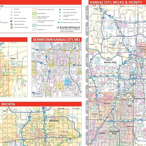
Coverage Area Detailed maps of: Hutchinson, Kansas City, MO/KS & Vicinity, Downtown Kansas City, MO; Lawrence, Manhattan, Salina, Topeka, Wichita
Description
Rand McNally's Easy To Read State Folded Map is a must-have for anyone traveling in and around Kansas, offering unbeatable accuracy and reliability at a great price. Our trusted cartography shows all Interstate, U.S., state, and county highways, along with clearly indicated parks, points of interest, airports, county boundaries, and streets. The easy-to-use legend and detailed index make for quick and easy location of destinations. You'll see why Rand McNally folded maps have been the trusted standard for years.