- التسوق ، اصبح سهلا.
- /
- احصل على التطبيق!
 الخاسر الأكبر: التمرين: Boot Camp (صور القيقب)
KWD 4
الخاسر الأكبر: التمرين: Boot Camp (صور القيقب)
KWD 4
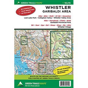 ويسلر ، بي سي كندا رقم 92J1S (خرائط المسارات الخضراء)
KWD 6
ويسلر ، بي سي كندا رقم 92J1S (خرائط المسارات الخضراء)
KWD 6
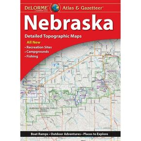 Delorme Atlas & Gazetteer: Nebraska
KWD 10
Delorme Atlas & Gazetteer: Nebraska
KWD 10
 -13%
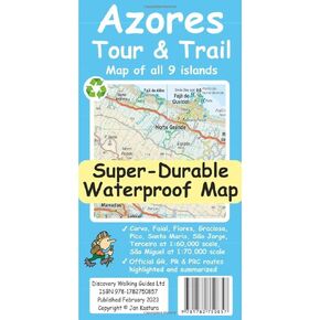
خريطة Azores Tour & Trail Super-Dience (الإصدار الثاني)
KWD 7
-13%
خريطة Azores Tour & Trail Super-Dience (الإصدار الثاني)
KWD 7
 -8%
Delorme Atlas & Gazetteer: Wyoming
KWD 11.500
-8%
Delorme Atlas & Gazetteer: Wyoming
KWD 11.500
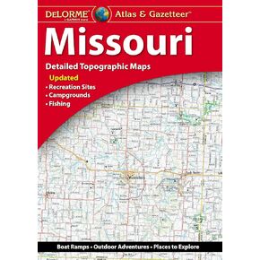 Delorme Atlas & Gazetteer: Missouri
KWD 10
Delorme Atlas & Gazetteer: Missouri
KWD 10
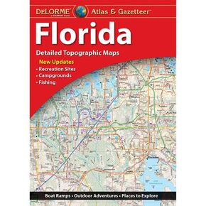 Delorme Atlas & Gazetteer: فلوريدا
KWD 10
Delorme Atlas & Gazetteer: فلوريدا
KWD 10
 خريطة المشي لمسافات طويلة في منتزه روكي ماونتن الوطني
KWD 6.500
خريطة المشي لمسافات طويلة في منتزه روكي ماونتن الوطني
KWD 6.500
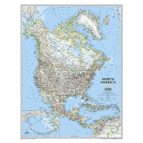 خريطة حائط أمريكا الشمالية من ناشيونال جيوغرافيك - كلاسيكية - مغلفة (23.5 × 30.25 بوصة) (خريطة مرجعية ناشيونال جيوغرافيك)
KWD 10.500
خريطة حائط أمريكا الشمالية من ناشيونال جيوغرافيك - كلاسيكية - مغلفة (23.5 × 30.25 بوصة) (خريطة مرجعية ناشيونال جيوغرافيك)
KWD 10.500
 La Garita Wilderness - خريطة كولورادو الطبوغرافية للمشي لمسافات طويلة (2019)
KWD 4
La Garita Wilderness - خريطة كولورادو الطبوغرافية للمشي لمسافات طويلة (2019)
KWD 4
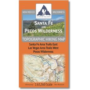 سانتا في وبيكوس وايلدرنيس - المشي لمسافات طويلة في نيو مكسيكو (2023)
KWD 4.500
سانتا في وبيكوس وايلدرنيس - المشي لمسافات طويلة في نيو مكسيكو (2023)
KWD 4.500
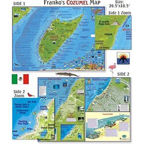 خرائط فرانكو كوزوميل خريطة الغوص للغواصين والسباحين
KWD 19
خرائط فرانكو كوزوميل خريطة الغوص للغواصين والسباحين
KWD 19
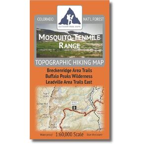 نطاق البعوض/العشر أميال - خريطة كولورادو الطبوغرافية للمشي لمسافات طويلة (2020)
KWD 4.500
نطاق البعوض/العشر أميال - خريطة كولورادو الطبوغرافية للمشي لمسافات طويلة (2020)
KWD 4.500
 خريطة مسارات بحيرة بلاسيد وبحيرة ساراناك الشتوية | خريطة آديرونداكس للمشي لمسافات طويلة في القمم العالية | مسار Jackrabbit للتزلج، كلية Paul Smith's VIC، مركز Cascade X-C للتزلج | متين ومقاوم للماء والتمزق
KWD 5.500
خريطة مسارات بحيرة بلاسيد وبحيرة ساراناك الشتوية | خريطة آديرونداكس للمشي لمسافات طويلة في القمم العالية | مسار Jackrabbit للتزلج، كلية Paul Smith's VIC، مركز Cascade X-C للتزلج | متين ومقاوم للماء والتمزق
KWD 5.500
 جبل زركل البرية - خريطة كولورادو الطبوغرافية للمشي لمسافات طويلة (2019)
KWD 4.500
جبل زركل البرية - خريطة كولورادو الطبوغرافية للمشي لمسافات طويلة (2019)
KWD 4.500
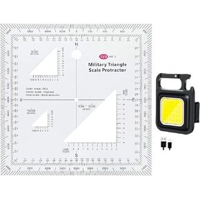 مقياس إحداثيات عسكري UTM/MGRS من البلاستيك الشفاف مقاس 1.2 مم، قراءة الخريطة ومقياس الخريطة الطبوغرافية للملاحة الأرضية، منقلة وقارئ إحداثيات الشبكة
KWD 8.500
مقياس إحداثيات عسكري UTM/MGRS من البلاستيك الشفاف مقاس 1.2 مم، قراءة الخريطة ومقياس الخريطة الطبوغرافية للملاحة الأرضية، منقلة وقارئ إحداثيات الشبكة
KWD 8.500
 -13%
قارئ/راسمة شبكة الخرائط من Westcott UTM، 5 × 6 بوصة، شفاف (GR-2)
KWD 3.500
-13%
قارئ/راسمة شبكة الخرائط من Westcott UTM، 5 × 6 بوصة، شفاف (GR-2)
KWD 3.500
 Sangre de Cristo Wilderness South - خريطة كولورادو الطبوغرافية للمشي لمسافات طويلة (2019)
KWD 4
Sangre de Cristo Wilderness South - خريطة كولورادو الطبوغرافية للمشي لمسافات طويلة (2019)
KWD 4
 خريطة BETA Mountain Bike (منطقة البحيرة الهادئة)
KWD 6.500
خريطة BETA Mountain Bike (منطقة البحيرة الهادئة)
KWD 6.500
 -8%
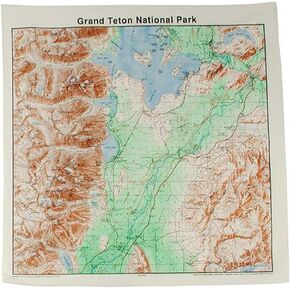
الخريطة الطبوغرافية باندانا جراند تيتونز
KWD 5.500
-8%
الخريطة الطبوغرافية باندانا جراند تيتونز
KWD 5.500
 Nantucket Trail Map: The Ultimate Guide for Outdoor Enthusiasts
KWD 5.500
Nantucket Trail Map: The Ultimate Guide for Outdoor Enthusiasts
KWD 5.500
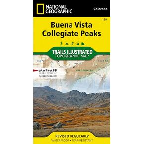 بوينا فيستا، خريطة القمم الجماعية (خريطة مصورة للممرات الجغرافية الوطنية، 129)
KWD 6
بوينا فيستا، خريطة القمم الجماعية (خريطة مصورة للممرات الجغرافية الوطنية، 129)
KWD 6
 خريطة المغامرة الخارجية في برلنغتون فيرمونت | خريطة بيرلينجتون للمشي لمسافات طويلة | مسارات المشي لمسافات طويلة في شلبورن، VT وإسيكس، نيويورك | متين ومقاوم للماء والتمزق
KWD 5
خريطة المغامرة الخارجية في برلنغتون فيرمونت | خريطة بيرلينجتون للمشي لمسافات طويلة | مسارات المشي لمسافات طويلة في شلبورن، VT وإسيكس، نيويورك | متين ومقاوم للماء والتمزق
KWD 5
 Comanche Peak Wilderness - Colorado Topographic Hiking Map (2018)
KWD 4
Comanche Peak Wilderness - Colorado Topographic Hiking Map (2018)
KWD 4
 -29%
A Map Guidebook to the Ichetucknee & Santa Fe Rivers
KWD 8.500
-29%
A Map Guidebook to the Ichetucknee & Santa Fe Rivers
KWD 8.500
 خريطة دليل فرانكو مابس كاواي للغواصين والانبوب
KWD 4
خريطة دليل فرانكو مابس كاواي للغواصين والانبوب
KWD 4
 The Printed Image Topographic Map Bandana
KWD 5.500
The Printed Image Topographic Map Bandana
KWD 5.500
 Yellowstone Topo Bandana
KWD 5.500
Yellowstone Topo Bandana
KWD 5.500
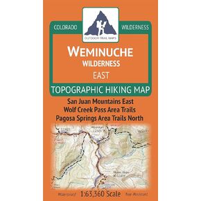 Weminuche Wilderness EAST - Colorado Topographic Hiking Map (2019)
KWD 4
Weminuche Wilderness EAST - Colorado Topographic Hiking Map (2019)
KWD 4
 خريطة المشي لمسافات طويلة على مدى نهر الرياح الجنوبية
KWD 4.500
خريطة المشي لمسافات طويلة على مدى نهر الرياح الجنوبية
KWD 4.500
 بالتر مابس خريطة دراجة نارية جنوب كاليفورنيا جي 1،
KWD 9
بالتر مابس خريطة دراجة نارية جنوب كاليفورنيا جي 1،
KWD 9
 Backcountry: The Game of Wilderness Survival: Great Smokey Mountain Edition
KWD 11.500
Backcountry: The Game of Wilderness Survival: Great Smokey Mountain Edition
KWD 11.500