- التسوق ، اصبح سهلا.
- /
- احصل على التطبيق!
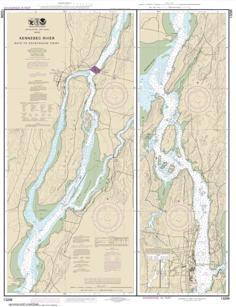
East View Geospatial (EVG), a certified NOAA and NGA print on demand printer; provides mariners with up-to-date National Oceanic and Atmospheric Administration (NOAA) approved nautical charts. Our Kennebec River Bath to Courthouse Point nautical chart (Map Index 13298) is printed on tear- and water-resistant paper. This paper is not fully waterproof, but is more durable than regular paper. All charts are printed with the latest Notice to Mariners (NTMs), and meet United States Coast Guard and international carriage requirements for commercial and recreational vessels. All NOAA nautical charts ship rolled, and are printed by East View Geospatial.
 غارمين 010-12234-00 إيكوماب الغطاء الواقي 9
KWD 12.500
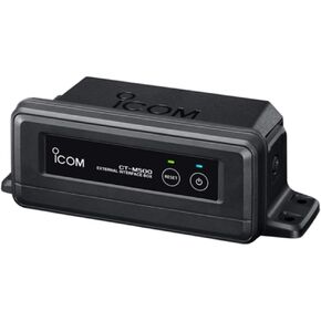 Icom CTM50-11 واجهة Hailer/n2k اللاسلكية لـ M510
KWD 26.500
 هامنبيرد محول طاقة عمق 710198-1 XNT 9 20 T 83/200KHz مع مستشعر درجة الحرارة وحامل رافدة
KWD 37.500
 محول تيار مستمر للسيارة HISPD لجهاز الإرسال والاستقبال ICOM VHF UHF 0930004 BC-173 فئة 2 للسيارات
KWD 7

 الكويت
