- التسوق ، اصبح سهلا.
- /
- احصل على التطبيق!

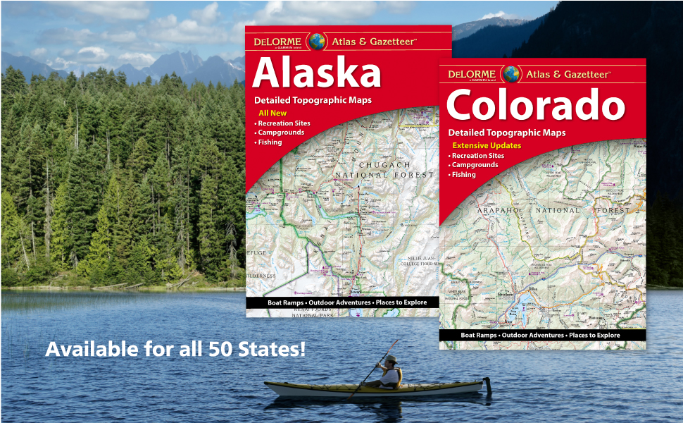
With an incredible wealth of detail, DeLorme's Atlas & Gazetteer is the perfect companion for exploring the Nebraska outdoors. Extensively indexed, full-color topographic maps provide information on everything from cities and towns to historic sites, scenic drives, buttes, ranches, trailheads, boat ramps and even prime fishing spots. Conveniently bound in book form, the Atlas & Gazetteer is your most comprehensive guide to Nebraska's backcountry. - Full-color topographic maps provide information on everything from cities and towns to historic sites, scenic drives, recreation areas, trailheads, boat ramps and prime fishing spots. - Extensively indexed. - Handy latitude/longitude overlay grid for each map allows you to navigate with GPS. - Inset maps provided for major cities as well as all state lands.
 خريطة طبوغرافية لمقاطعة بولدر الترفيهية
KWD 8.500
خريطة طبوغرافية لمقاطعة بولدر الترفيهية
KWD 8.500
 Collegiate Peaks Wilderness - خريطة كولورادو الطبوغرافية للمشي لمسافات طويلة (2018)
KWD 4
Collegiate Peaks Wilderness - خريطة كولورادو الطبوغرافية للمشي لمسافات طويلة (2018)
KWD 4
 Outdoor Trail Maps LLC Lost Creek Wilderness - خريطة كولورادو الطبوغرافية للمشي لمسافات طويلة (2022)
KWD 4
Outdoor Trail Maps LLC Lost Creek Wilderness - خريطة كولورادو الطبوغرافية للمشي لمسافات طويلة (2022)
KWD 4
 خرائط الممرات الخارجية Maroon Bells-Snowmass Wilderness - خريطة كولورادو الطبوغرافية للمشي لمسافات طويلة (2022)
KWD 4
خرائط الممرات الخارجية Maroon Bells-Snowmass Wilderness - خريطة كولورادو الطبوغرافية للمشي لمسافات طويلة (2022)
KWD 4