- التسوق ، اصبح سهلا.
- /
- احصل على التطبيق!
Unique, full color, and detailed this political map of Canada is bi-lingual (English & French) features geographic detail and accuracy. The map shows boundaries, place names, bodies of water, and more. Features insets of Calgary, Winnipeg, Montreal, Ottawa, Halifax, Toronto, Quebec, Vancouver, and Edmonton. All Canadian province flags and facts. All current 2018 country information. Perfect for Schools, Home, Office or Home Schooling.
 بارد بومة خرائط خريطة الحائط ولاية ويسكونسن 24 "WX30 H ورقة مدفوقة.
KWD 8.500
بارد بومة خرائط خريطة الحائط ولاية ويسكونسن 24 "WX30 H ورقة مدفوقة.
KWD 8.500
 خرائط البومة الباردة ملصق خريطة الجدار القارة في آسيا (32 "x24")
KWD 10.500
خرائط البومة الباردة ملصق خريطة الجدار القارة في آسيا (32 "x24")
KWD 10.500
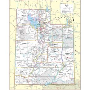 خرائط البومة الباردة ملصق خريطة الحائط ولاية يوتا المرفوعة 24 "WX30" H (مغلفة)
KWD 10.500
خرائط البومة الباردة ملصق خريطة الحائط ولاية يوتا المرفوعة 24 "WX30" H (مغلفة)
KWD 10.500
 خريطة جدار ولاية تينيسي ، حجم ملصق طباعة كبير (36 "WX18" H) ملفوفة (مغلفة)
KWD 10.500
خريطة جدار ولاية تينيسي ، حجم ملصق طباعة كبير (36 "WX18" H) ملفوفة (مغلفة)
KWD 10.500


